FJDynamics
FJD AL01 3D Land Leveling System
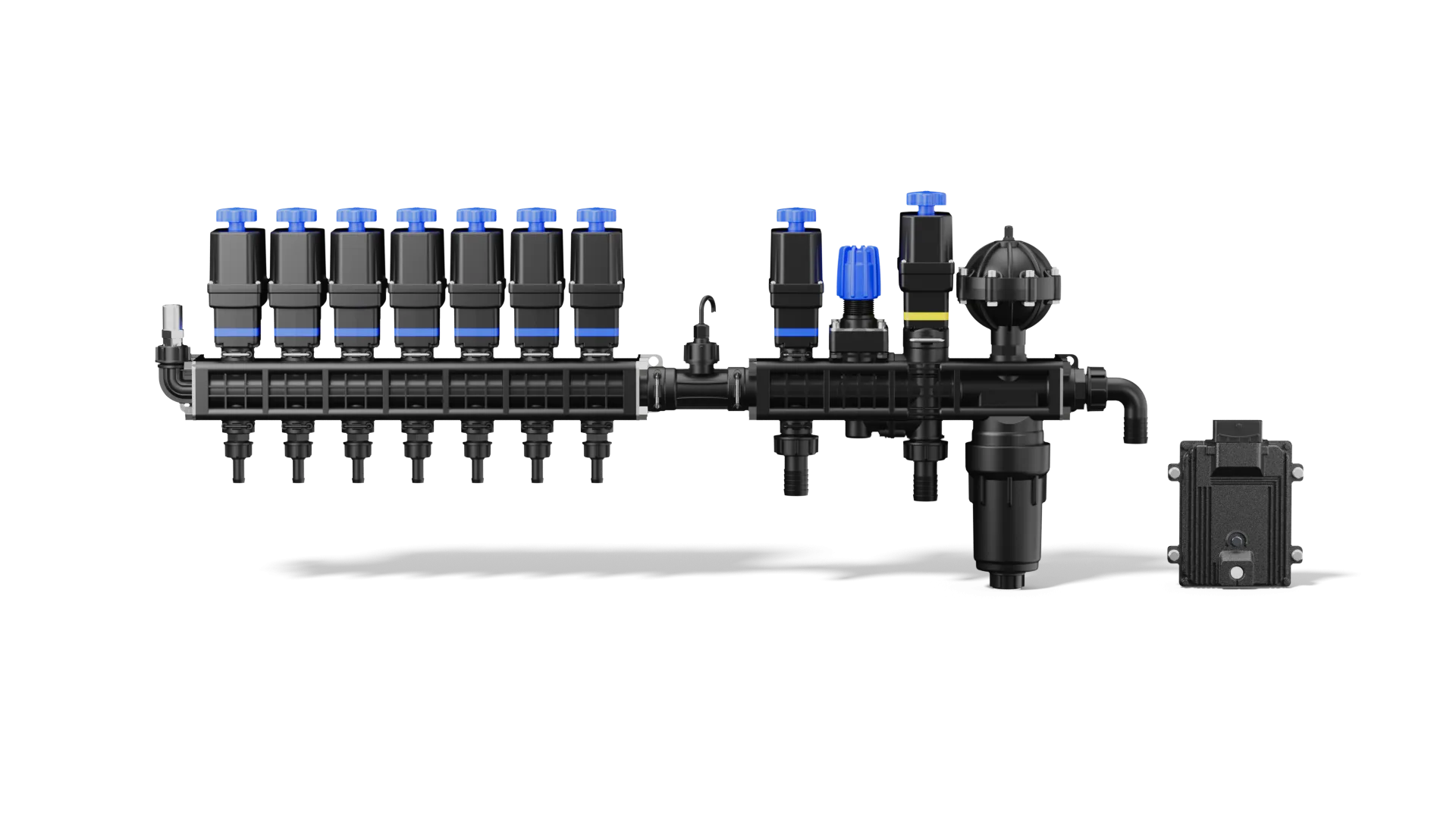
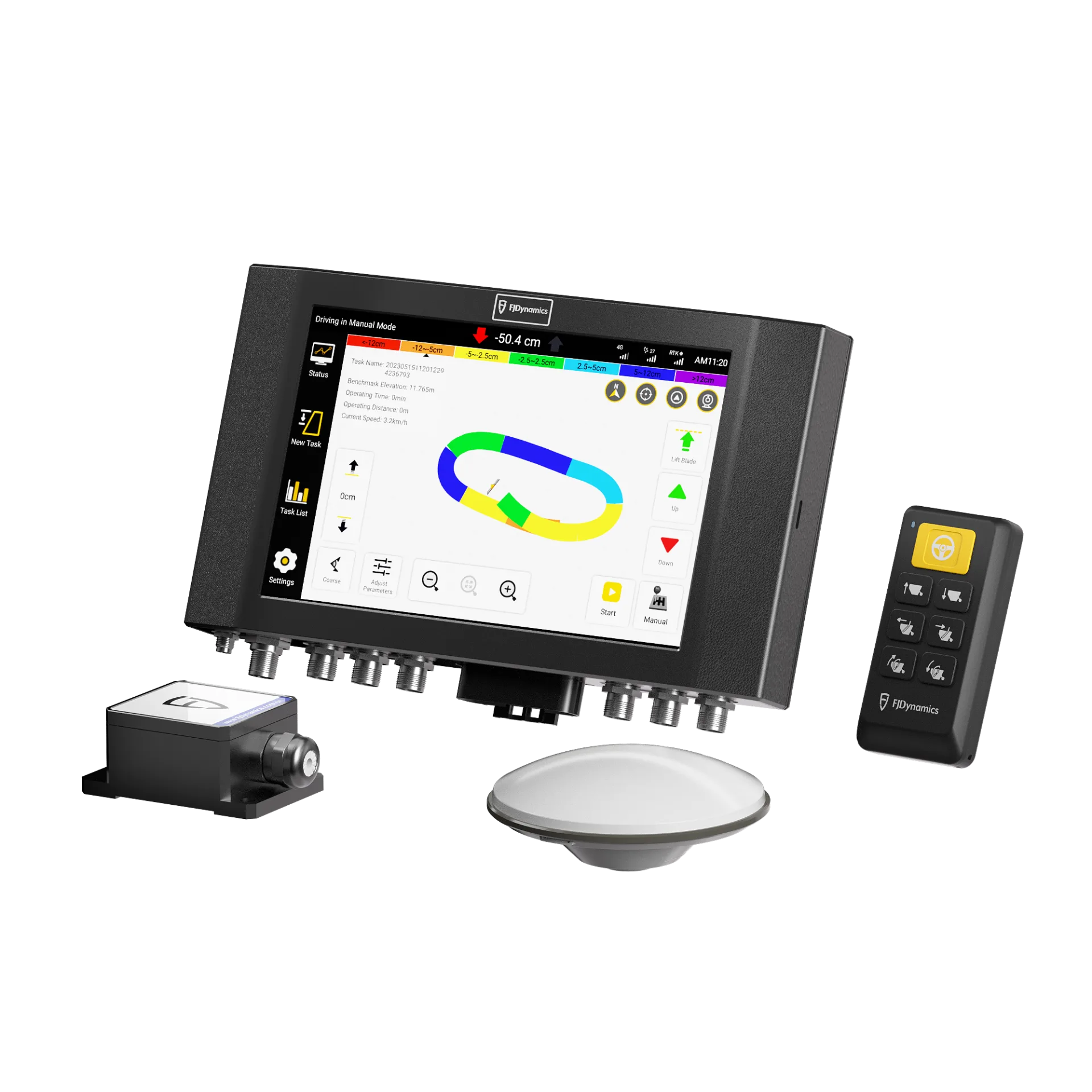
The FJD AL01 is a 3D land-levelling system that surveys your field with GNSS-RTK, builds a…
±2 cm~22%

FJD StellarFusion is a subscription-based correction service delivering centimetre-level positioning worldwide through network (NRTK), satellite (Orbital) and hybrid options, with over 99.9% availability.
FJD StellarFusion
StellarFusion is a global high-precision positioning platform built on state-space augmentation technology. Multi-source GNSS data fusion algorithms and a cloud-based real-time correction engine let it deliver network-based, satellite-based and hybrid positioning services under one roof. FJDynamics currently offers the service at the field-testing stage; contact us about availability in Türkiye.
Auto steering, levelling and precision seeding need centimetre-level correction signals. These usually come from a CORS network over the internet or from a base station set up at the field, but work stalls where mobile coverage is weak and setting up a base station is impractical. StellarFusion aims to close that gap with network-based NRTK, satellite-broadcast Orbital and a Hybrid service that combines the two. NRTK converges in about 3 seconds and gives the highest accuracy; Orbital needs no internet but takes 3–8 minutes to converge; Hybrid combines both sources to help work continue when the connection drops. Subscriptions are available annually or daily. FJDynamics currently offers the service at the field-testing stage; contact us about availability in Türkiye and compatible hardware. In the meantime, you can work with centimetre accuracy using our own CORS-RTK network in the Marmara and Aegean regions and the FJD V1 base station.
<2 cm
NRTK horizontal accuracy
≥99.9%
Service availability
<3 s
NRTK convergence time
5
Supported GNSS systems

Easy Access
Corrections can be received via NTRIP or directly by satellite signal, so you can get started quickly with common GNSS receivers and devices. Yearly or daily subscription plans mean you only pay for the period you need, whether you run a small farm or a large fleet.
Reliable Performance
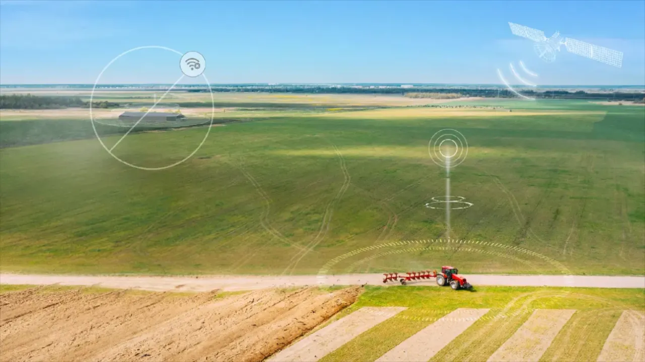
Because it can use both network and satellite correction paths, StellarFusion delivers consistent positioning in suburban and rural areas, in weak-network regions and even with no network coverage at all.
Network-based, real-time centimetre-level positioning. Horizontal <2 cm, convergence <3 s.
Global satellite corrections for wide areas. Horizontal <3 cm, convergence 3–8 min.
Combines network and satellite corrections for reliable coverage. Horizontal <3 cm, convergence <120 s.
Applications
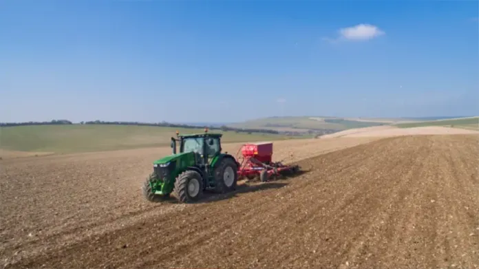
Stable positioning for autonomous tractors, sprayers and seeders.
High accuracy for excavators, dozers and pavers on tough jobsites.
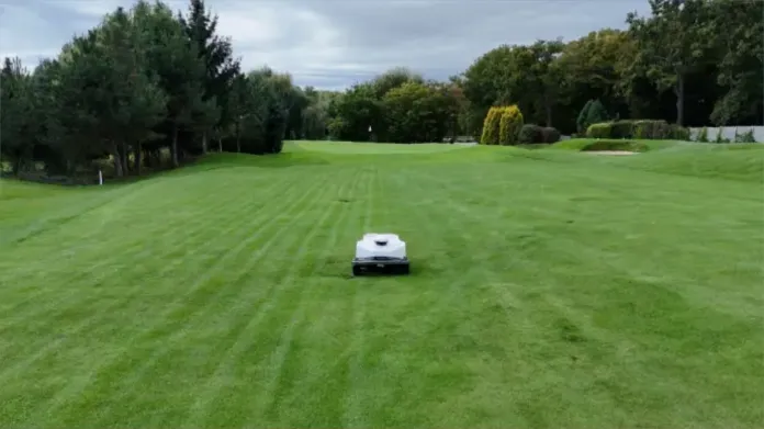
Out-of-the-box global positioning for robotic mowers, surveying and handheld devices.
As the authorized FJDynamics dealer in Türkiye, Daze Tarım supports you with choosing correction services, device installation, user training and technical service. Since we also operate our own RTK-CORS network across Türkiye, we can help you choose the right correction solution for your operation. Contact us for subscription and compatibility details.
FAQ
NRTK offers the highest accuracy and fastest convergence over the mobile network. Orbital provides corrections via satellite where there is no network. Hybrid combines both for more reliable coverage.
It works with common GNSS receivers that support NTRIP. Satellite-based services require support from specific hardware models (e.g. the FJD StarNav receiver).
Yearly and daily plans are available, so you only pay for the time you need.
StellarFusion is a global service currently in field testing. Contact Daze Tarım for the latest availability.