FJD AL01 3D Land Leveling System
Perform Precision Land Leveling
For more detailed information, you can contact us via the phone number or email address below.
+90 (553) 225 15 38 Online Satın Al

The FJD AL01 3D Land Leveling System uses high-precision GNSS and RTK positioning technology to provide a comprehensive solution for land flattening. This GPS land leveling system can improve water management, increase productivity and profitability.
Application


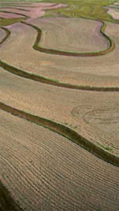
- Gaining Unplanted Land
- Land Consolidation and Flattening
- Transforming Sloped Areas into Flat Lands
- Working in Rice Fields
Benefits
- 22% Less Water Consumption
- 10% Less Fuel Consumption
- 40% More Work Efficiency
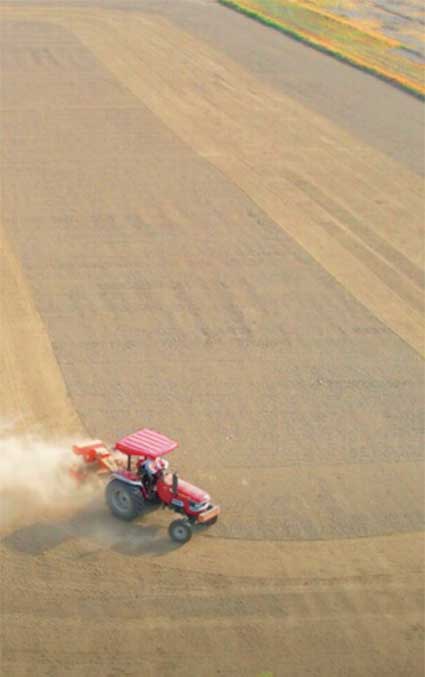
Switching Between Light Load and Heavy Load Modes
Precision Leveling
The light load mode is suitable for precision leveling areas with small height differences. It consumes 10% less fuel compared to the heavy load mode under the same conditions. The maximum speed reached by the light load mode is 15km/hour. Land that has been flattened saves 22% in water usage compared to unflattened land.
Reclaiming Non-arable Land
The heavy load mode levels lands with large height differences and is used in the initial stages of reclaiming non-arable land.
GNNS Based Land Leveling System
Say goodbye to problematic installation processes, limited signal coverage, and weather-dependent issues of laser systems. Welcome the GNSS based land leveling system AL01, offering values with 2.5 cm precision, increasing efficiency by 40%, and covering a wider area as mentioned in item 2.
- Precision values vary under different conditions.
- Efficiency and signal coverage comparisons are conducted in the same environment using the same machine configuration.
Digital Land Mapping
Real-Time Map Cutting and Filling
Guides the operator to transport the minimum amount of soil necessary to create the desired surface.
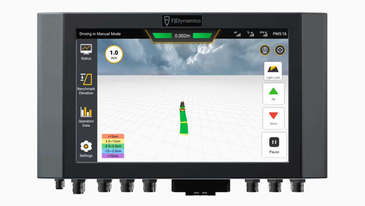
Speed Display
Displays the real-time speed of the tractor.
Area Measurement
Calculates the hectare values of leveled areas.
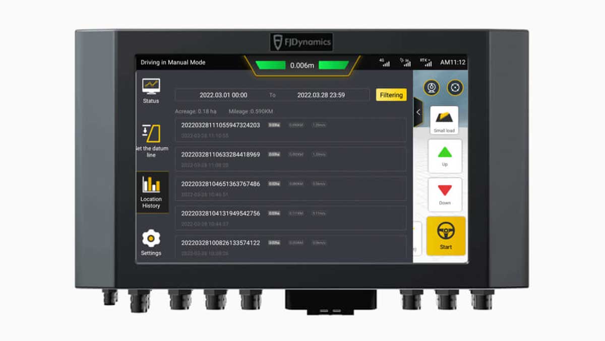
Integrated Land Measurement
Automatic Benchmark Setting
Measure the land, set the benchmark height, adjust the scraper, and level the land according to the benchmark on the right side of the cabin.
Manual Benchmark Setting
Manually lower and set the scraper blade to the desired height for benchmarking.
Sloped Benchmark Setting
There are two methods for adjusting the benchmark for leveling uneven sloped areas. 1. Determine the heights at the highest and lowest points of the sloped area for the system to configure a flat surface as a benchmark. 2. Determine the height of a point and manually increase or decrease the value to create a difference, activating the formation of the benchmark surface.