FJDynamics
FJD AL01 3D Land Leveling System
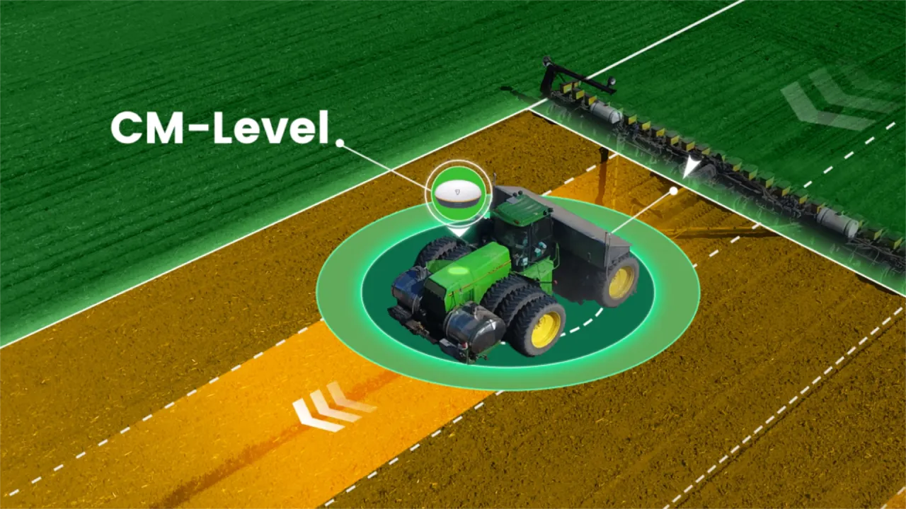
The FJD AL01 is a 3D land-levelling system that surveys your field with GNSS-RTK, builds a…
±2 cm~22%

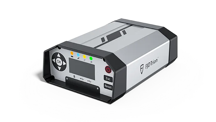
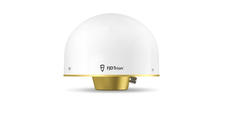
The FJD N10 CORS System is a fixed reference station solution that broadcasts centimetre-level RTK corrections over the internet 24/7, built on the 1408-channel N10 GNSS reference receiver, a 3D choke ring antenna and the FLBS management platform.
FJD N10 CORS System
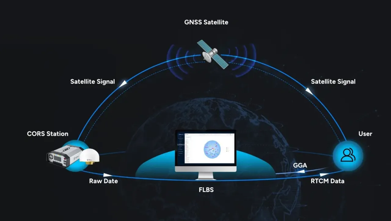
The FJD N10 CORS System is built to deliver high-precision correction data around the clock. Its N10 GNSS reference receiver supports GPS, GLONASS, Galileo, BeiDou and QZSS with strong anti-interference capability. A built-in battery keeps it running during power loss, and the FLBS platform manages base stations and NTRIP accounts in one place. RTCM data is distributed in real time over the internet.
The N10 is a CORS (continuously operating reference station) solution installed at a fixed site that broadcasts corrections continuously over the internet. Farms, cooperatives, municipalities and dealer networks can use the N10 to build an RTK network in their own area. The 1408-channel reference receiver and 3D choke ring antenna reduce multipath to provide a stable reference, while the FLBS management platform lets you manage users, subscriptions and broadcast quality from one screen. Users connect via NTRIP and receive centimetre-level corrections over the mobile network; one station can serve many tractors, drones and survey devices at once. 4G, Wi-Fi and Ethernet connectivity, a built-in battery and a wide supply range are designed for uninterrupted operation, and the IP67 receiver works outdoors for the long term. Drawing on the CORS-RTK network we operate in the Marmara and Aegean regions, we support site selection, installation and broadcast set-up.
0.8 cm+1 ppm
RTK horizontal accuracy
1408
Channels
10,000
Concurrent users per server
24/7
All-weather operation
Main Hardware
The system consists of the N10 GNSS reference receiver and the CGX611A 3D choke ring antenna. The receiver offers 4G, Wi-Fi and Ethernet, a 22,000 mAh lithium battery (over 24 hours), remote restart and an IP67 housing. The choke ring antenna suppresses multipath for cleaner reference data.
FLBS Platform
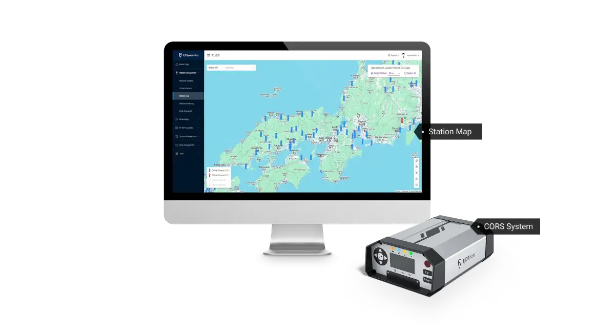
Monitor all reference stations on a map.
The warning service detects faults early for more stable service.
Create and manage NTRIP accounts; broadcast in physical station or virtual reference station (VRS) mode.
As the authorized FJDynamics dealer in Türkiye, Daze Tarım provides site survey, installation, training, spare parts and technical service for the N10 CORS System. As a team that runs its own RTK-CORS network, we bring hands-on experience from station placement to NTRIP account management. Contact us for pricing and project details.
FAQ
The N10 is permanently installed and broadcasts corrections over the internet (NTRIP) 24/7 to many simultaneous users, while a portable base works by radio over a limited area.
Any GNSS rover compliant with NTRIP 1.0; corrections can be provided in RTCM 2.3/3.x, CMR and CMR+.
The receiver's 22,000 mAh battery keeps it running for more than 24 hours under standard conditions.
The recommended reference station spacing on FLBS is 30–120 km; outside the network, service extends up to 30 km.